TYPE:
SENSOR
LAYER:
DS_PHR1B_202212272009119_FR1_PX_W150S18_1007_00441
FORMAT:
DIMAP
RASTER:
image/tiff
General Information
Map Name
Geometric Processing Level
Radiometric Processing Level
BASIC
Image dimensions
Number of columns
27868
Number of rows
9158
Number of spectral bands
1
Dataset framing
Vertice
Longitude (DEG)
Latitude (DEG)
Row
Col
#1
-149.2633578833707
-17.85506133913969
#2
-149.1204066175172
-17.86169847656499
#3
-149.1203284182306
-17.90547493144804
#4
-149.2631951772001
-17.89907812779287
Dataset sources
PHR
Coordinate Reference System
Projected Coordinate System
Geocoding tables identification
EPSG(6.3)
Production
Production Date
2022-12-28T11:06:14.521
Job identification
6601112101-1
Dataset Producer Identification
AIRBUS DS GEO
Producer link
http://www.geo-airbusds.com
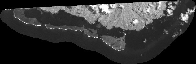
Quicklook
Copyright