TYPE:
SENSOR
LAYER:
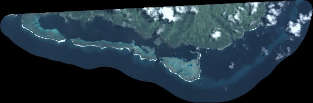
DS_PHR1B_202212272009119_FR1_PX_W150S18_1007_00441
FORMAT:
DIMAP
RASTER:
image/tiff
General Information
Map Name
Geometric Processing Level
Radiometric Processing Level
BASIC
Image dimensions
Number of columns
6968
Number of rows
2289
Number of spectral bands
4
Dataset framing
Vertice
Longitude (DEG)
Latitude (DEG)
Row
Col
#1
-149.2633500999072
-17.85507852164338
1
#2
-149.1203938327602
-17.86171579103385
#3
-149.120315664923
-17.90546831445061
#4
-149.2631874690032
-17.89907125546588
Dataset sources
PHR
Coordinate Reference System
Projected Coordinate System
Geocoding tables identification
EPSG(6.3)
Production
Production Date
2022-12-28T11:05:46.806
Job identification
6601112101-2
Dataset Producer Identification
AIRBUS DS GEO
Producer link
http://www.geo-airbusds.com
Quicklook
Copyright