TYPE:
SENSOR
LAYER:
DS_PHR1A_202212271049068_FR1_PX_E003N43_0620_01727
FORMAT:
DIMAP
RASTER:
image/jp2
General Information
Map Name
Geometric Processing Level
Radiometric Processing Level
BASIC
Image dimensions
Number of columns
9774
Number of rows
9568
Number of spectral bands
4
Dataset framing
Vertice
Longitude (DEG)
Latitude (DEG)
Row
Col
#1
3.333123509673384
43.91964222825672
1
#2
3.583498586345337
43.92323864748683
#3
3.583715596397195
43.74460464218727
#4
3.333755730850072
43.74145315494879
Dataset sources
PHR
Coordinate Reference System
Projected Coordinate System
Geocoding tables identification
EPSG(6.3)
Production
Production Date
2022-12-28T03:20:20.759
Job identification
6600888101-2
Dataset Producer Identification
AIRBUS DS GEO
Producer link
http://www.geo-airbusds.com
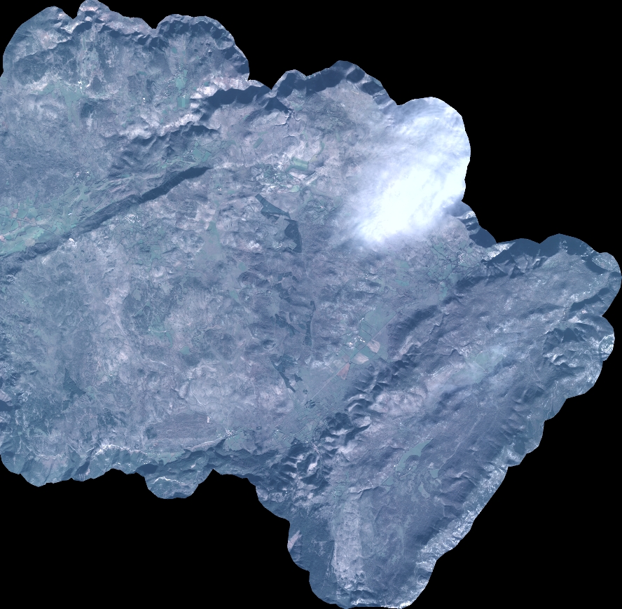
Quicklook
Copyright