TYPE:
SENSOR
LAYER:
DS_PHR1A_202212271047071_FR1_PX_E002N49_1010_01128
FORMAT:
DIMAP
RASTER:
image/jp2
General Information
Map Name
Geometric Processing Level
Radiometric Processing Level
BASIC
Image dimensions
Number of columns
4562
Number of rows
6214
Number of spectral bands
4
Dataset framing
Vertice
Longitude (DEG)
Latitude (DEG)
Row
Col
#1
2.678351428369235
49.44943159197077
1
#2
2.816888284205143
49.45046149904243
#3
2.816557866678794
49.33457292755078
#4
2.678385365247788
49.33304800019943
Dataset sources
PHR
Coordinate Reference System
Projected Coordinate System
Geocoding tables identification
EPSG(6.3)
Production
Production Date
2022-12-28T03:15:32.725
Job identification
6600889101-2
Dataset Producer Identification
AIRBUS DS GEO
Producer link
http://www.geo-airbusds.com
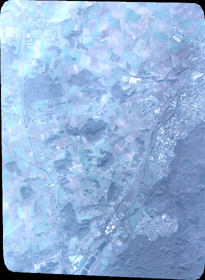
Quicklook
Copyright