TYPE:
SENSOR
LAYER:
DS_PHR1A_202212271048495_FR1_PX_E005N43_0115_03779
FORMAT:
DIMAP
RASTER:
image/jp2
General Information
Map Name
Geometric Processing Level
Radiometric Processing Level
BASIC
Image dimensions
Number of columns
39317
Number of rows
84616
Number of spectral bands
1
Dataset framing
Vertice
Longitude (DEG)
Latitude (DEG)
Row
Col
#1
4.916332611129427
43.77589194292187
#2
5.171979029471004
43.77813908664041
#3
5.173619616080079
43.39024308679973
#4
4.916954946609035
43.39053601588546
Dataset sources
PHR
Coordinate Reference System
Projected Coordinate System
Geocoding tables identification
EPSG(6.3)
Production
Production Date
2022-12-27T23:48:14.849
Job identification
6600668101-1
Dataset Producer Identification
AIRBUS DS GEO
Producer link
http://www.geo-airbusds.com
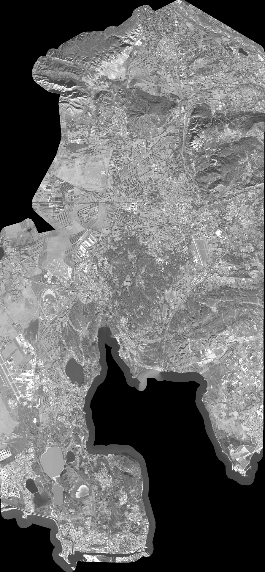
Quicklook
Copyright