TYPE:
ORTHO
LAYER:
DS_PHR1A_202212271047166_FR1_PX_E002N49_0701_01151
FORMAT:
DIMAP
RASTER:
image/tiff
General Information
Map Name
Geometric Processing Level
Radiometric Processing Level
BASIC
Image dimensions
Number of columns
21157
Number of rows
26762
Number of spectral bands
4
Dataset framing
Vertice
Longitude (DEG)
Latitude (DEG)
Row
Col
#1
2.456740963950511
49.07537742222483
1
#2
2.601513155521237
49.07594458783475
#3
2.602435194645053
48.95563024062753
#4
2.457997966072009
48.95506432257274
Dataset sources
PHR
Coordinate Reference System
Projected Coordinate System
Geocoding tables identification
EPSG(6.3)
Projected Coordinate System name
2154
Projected Coordinate System code
urn:ogc:def:crs:EPSG::2154
Geoposition
Upper - Left Map X Coordinate
660306.75
Upper - Left Map Y Coordinate
6886306.25
Image sampling
0.5 x 0.5
Production
Production Date
2022-12-27T17:07:58.090
Job identification
6600887101
Dataset Producer Identification
AIRBUS DS GEO
Producer link
http://www.geo-airbusds.com
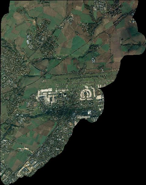
Quicklook
Copyright