TYPE:
SENSOR
LAYER:
DS_PHR1A_202212271049161_FR1_PX_E003N43_0421_01306
FORMAT:
DIMAP
RASTER:
image/jp2
General Information
Map Name
Geometric Processing Level
Radiometric Processing Level
BASIC
Image dimensions
Number of columns
21683
Number of rows
28828
Number of spectral bands
1
Dataset framing
Vertice
Longitude (DEG)
Latitude (DEG)
Row
Col
#1
3.228129860253971
43.91588300731262
#2
3.370196329355811
43.91863341456281
#3
3.370305434487362
43.77757791736591
#4
3.228235682818945
43.77413540050402
Dataset sources
PHR
Coordinate Reference System
Projected Coordinate System
Geocoding tables identification
EPSG(6.3)
Production
Production Date
2022-12-28T04:21:38.086
Job identification
6600927101-1
Dataset Producer Identification
AIRBUS DS GEO
Producer link
http://www.geo-airbusds.com
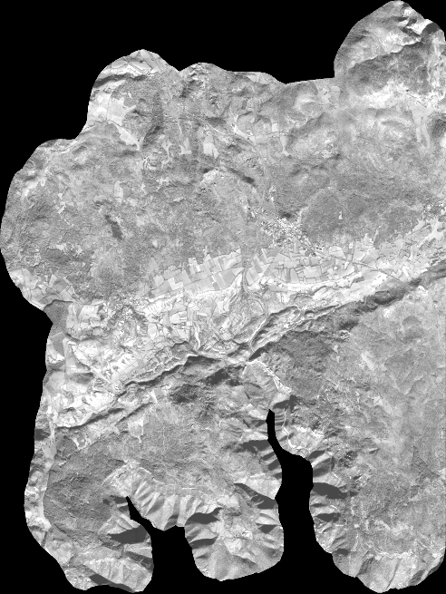
Quicklook
Copyright