TYPE:
SENSOR
LAYER:
DS_PHR1A_202212271049161_FR1_PX_E003N43_0421_01306
FORMAT:
DIMAP
RASTER:
image/jp2
General Information
Map Name
Geometric Processing Level
Radiometric Processing Level
BASIC
Image dimensions
Number of columns
5421
Number of rows
7208
Number of spectral bands
4
Dataset framing
Vertice
Longitude (DEG)
Latitude (DEG)
Row
Col
#1
3.228153130870644
43.91588107812825
1
#2
3.370206641699175
43.91863100238486
#3
3.370315699969303
43.77757240404348
#4
3.228258322222363
43.77412895091022
Dataset sources
PHR
Coordinate Reference System
Projected Coordinate System
Geocoding tables identification
EPSG(6.3)
Production
Production Date
2022-12-28T04:21:15.210
Job identification
6600927101-2
Dataset Producer Identification
AIRBUS DS GEO
Producer link
http://www.geo-airbusds.com
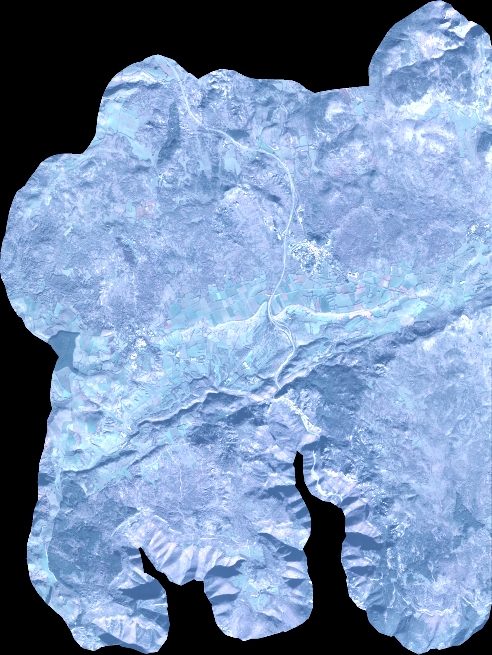
Quicklook
Copyright