TYPE:
SENSOR
LAYER:
DS_PHR1A_202212242209473_FR1_PX_W179S15_1117_01674
FORMAT:
DIMAP
RASTER:
image/tiff
General Information
Map Name
Geometric Processing Level
Radiometric Processing Level
BASIC
Image dimensions
Number of columns
38863
Number of rows
37211
Number of spectral bands
1
Dataset framing
Vertice
Longitude (DEG)
Latitude (DEG)
Row
Col
#1
-178.2087112792898
-14.21364152833097
#2
-178.0213569066163
-14.21649693448594
#3
-178.0214630549075
-14.38619165815071
#4
-178.2085332409246
-14.38424641626908
Dataset sources
PHR
Coordinate Reference System
Projected Coordinate System
Geocoding tables identification
EPSG(6.3)
Production
Production Date
2022-12-26T09:28:09.919
Job identification
6599478101-1
Dataset Producer Identification
AIRBUS DS GEO
Producer link
http://www.geo-airbusds.com
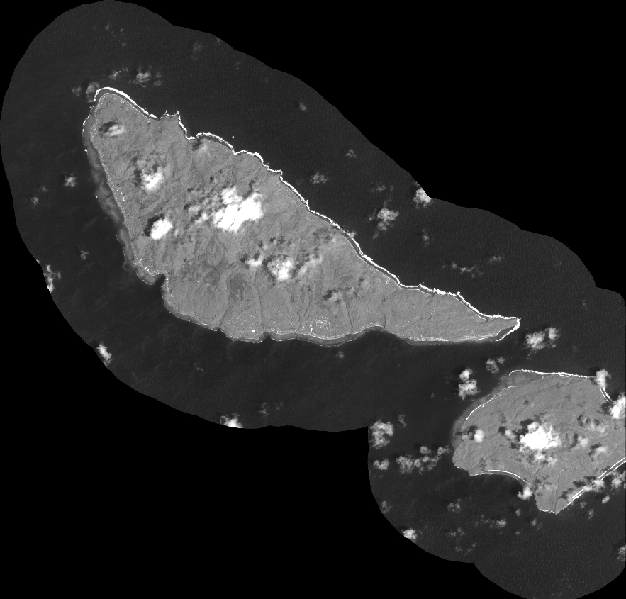
Quicklook
Copyright