TYPE:
SENSOR
LAYER:
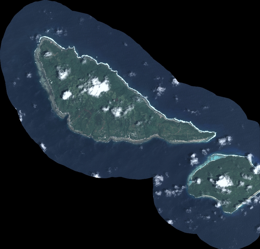
DS_PHR1A_202212242209473_FR1_PX_W179S15_1117_01674
FORMAT:
DIMAP
RASTER:
image/tiff
General Information
Map Name
Geometric Processing Level
Radiometric Processing Level
BASIC
Image dimensions
Number of columns
9717
Number of rows
9303
Number of spectral bands
4
Dataset framing
Vertice
Longitude (DEG)
Latitude (DEG)
Row
Col
#1
-178.2087088413175
-14.21364384737402
1
#2
-178.0213449014417
-14.21649938185289
#3
-178.0214510777766
-14.38618493884218
#4
-178.2085308341875
-14.38423956697364
Dataset sources
PHR
Coordinate Reference System
Projected Coordinate System
Geocoding tables identification
EPSG(6.3)
Production
Production Date
2022-12-26T09:27:20.237
Job identification
6599478101-2
Dataset Producer Identification
AIRBUS DS GEO
Producer link
http://www.geo-airbusds.com
Quicklook
Copyright