TYPE:
SENSOR
LAYER:
DS_PHR1B_202212231537453_FR1_PX_W078N01_0805_00872
FORMAT:
DIMAP
RASTER:
image/tiff
General Information
Map Name
Geometric Processing Level
Radiometric Processing Level
BASIC
Image dimensions
Number of columns
33717
Number of rows
19068
Number of spectral bands
1
Dataset framing
Vertice
Longitude (DEG)
Latitude (DEG)
Row
Col
#1
-77.46791012949834
1.212023244686146
#2
-77.31457747354371
1.211255030775971
#3
-77.31444687134523
1.126105479797771
#4
-77.46794093333629
1.126727143956386
Dataset sources
PHR
Coordinate Reference System
Projected Coordinate System
Geocoding tables identification
EPSG(6.3)
Production
Production Date
2022-12-29T09:47:39.702
Job identification
6601907101-1
Dataset Producer Identification
AIRBUS DS GEO
Producer link
http://www.geo-airbusds.com
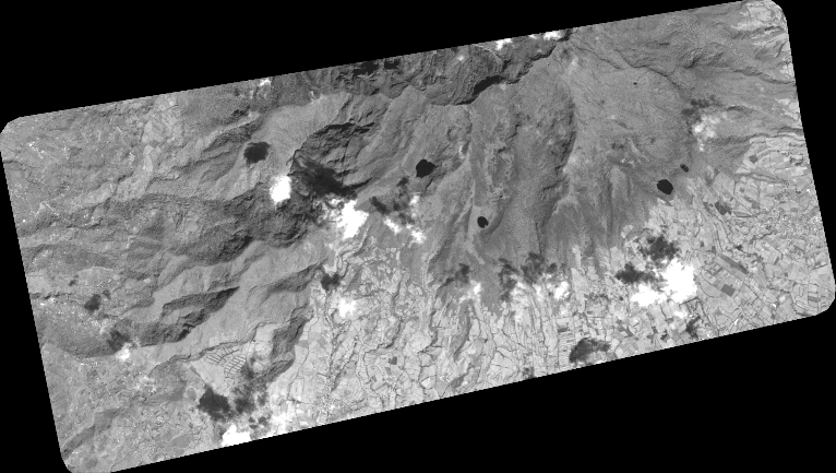
Quicklook
Copyright