TYPE:
SENSOR
LAYER:
DS_PHR1B_202212231537453_FR1_PX_W078N01_0805_00872
FORMAT:
DIMAP
RASTER:
image/tiff
General Information
Map Name
Geometric Processing Level
Radiometric Processing Level
BASIC
Image dimensions
Number of columns
8430
Number of rows
4767
Number of spectral bands
4
Dataset framing
Vertice
Longitude (DEG)
Latitude (DEG)
Row
Col
#1
-77.46790388020207
1.21201830920122
1
#2
-77.31457102861407
1.211248991873959
#3
-77.31444068969388
1.126112671259283
#4
-77.46793503518769
1.126735477711204
Dataset sources
PHR
Coordinate Reference System
Projected Coordinate System
Geocoding tables identification
EPSG(6.3)
Production
Production Date
2022-12-29T09:45:55.463
Job identification
6601907101-2
Dataset Producer Identification
AIRBUS DS GEO
Producer link
http://www.geo-airbusds.com
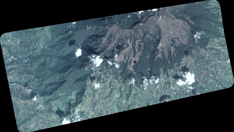
Quicklook
Copyright