TYPE:
SENSOR
LAYER:
DS_PHR1B_202212231537530_FR1_PX_W078N01_0805_00893
FORMAT:
DIMAP
RASTER:
image/tiff
General Information
Map Name
Geometric Processing Level
Radiometric Processing Level
BASIC
Image dimensions
Number of columns
33704
Number of rows
19435
Number of spectral bands
1
Dataset framing
Vertice
Longitude (DEG)
Latitude (DEG)
Row
Col
#1
-77.46785465141119
1.214290502423079
#2
-77.31462670910402
1.211668231713207
#3
-77.3144563186186
1.123867078138412
#4
-77.4679048729609
1.126729663123326
Dataset sources
PHR
Coordinate Reference System
Projected Coordinate System
Geocoding tables identification
EPSG(6.3)
Production
Production Date
2022-12-29T09:47:59.897
Job identification
6601908101-1
Dataset Producer Identification
AIRBUS DS GEO
Producer link
http://www.geo-airbusds.com
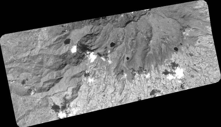
Quicklook
Copyright