TYPE:
SENSOR
LAYER:
DS_PHR1B_202212231537530_FR1_PX_W078N01_0805_00893
FORMAT:
DIMAP
RASTER:
image/tiff
General Information
Map Name
Geometric Processing Level
Radiometric Processing Level
BASIC
Image dimensions
Number of columns
8426
Number of rows
4859
Number of spectral bands
4
Dataset framing
Vertice
Longitude (DEG)
Latitude (DEG)
Row
Col
#1
-77.46784387636065
1.214288511231934
1
#2
-77.31462963248902
1.211667055134386
#3
-77.31445961789188
1.123874953145837
#4
-77.4678948567776
1.126737144800116
Dataset sources
PHR
Coordinate Reference System
Projected Coordinate System
Geocoding tables identification
EPSG(6.3)
Production
Production Date
2022-12-29T09:46:54.721
Job identification
6601908101-2
Dataset Producer Identification
AIRBUS DS GEO
Producer link
http://www.geo-airbusds.com
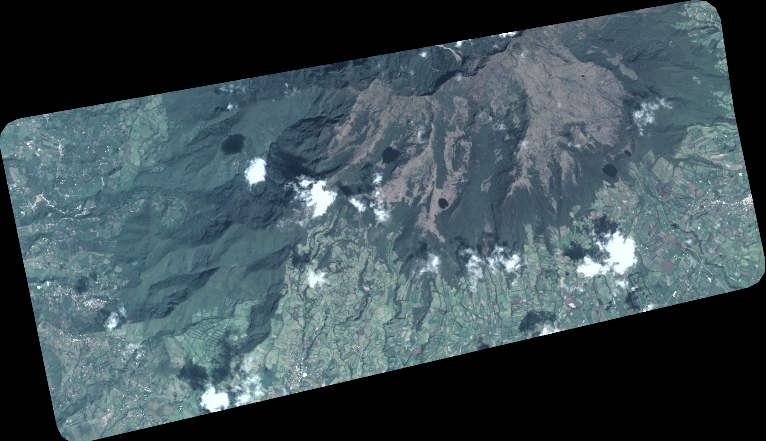
Quicklook
Copyright