TYPE:
SENSOR
LAYER:
DS_PHR1B_202212231537375_FR1_PX_W078N01_0805_00855
FORMAT:
DIMAP
RASTER:
image/tiff
General Information
Map Name
Geometric Processing Level
Radiometric Processing Level
BASIC
Image dimensions
Number of columns
33500
Number of rows
18586
Number of spectral bands
1
Dataset framing
Vertice
Longitude (DEG)
Latitude (DEG)
Row
Col
#1
-77.46793781715215
1.20978615709092
#2
-77.31462168727153
1.211421268384747
#3
-77.31438779763123
1.128356744285383
#4
-77.46784094404036
1.126320724119396
Dataset sources
PHR
Coordinate Reference System
Projected Coordinate System
Geocoding tables identification
EPSG(6.3)
Production
Production Date
2022-12-29T09:42:42.266
Job identification
6601906101-1
Dataset Producer Identification
AIRBUS DS GEO
Producer link
http://www.geo-airbusds.com
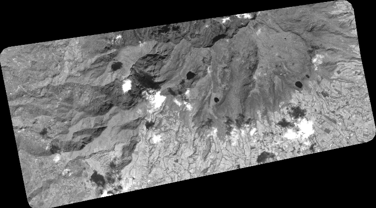
Quicklook
Copyright