TYPE:
SENSOR
LAYER:
DS_PHR1B_202212231537375_FR1_PX_W078N01_0805_00855
FORMAT:
DIMAP
RASTER:
image/tiff
General Information
Map Name
Geometric Processing Level
Radiometric Processing Level
BASIC
Image dimensions
Number of columns
8376
Number of rows
4647
Number of spectral bands
4
Dataset framing
Vertice
Longitude (DEG)
Latitude (DEG)
Row
Col
#1
-77.46794042788632
1.209787892609627
1
#2
-77.31461972219265
1.211421966944453
#3
-77.3143862173272
1.128361584315972
#4
-77.4678444726907
1.12632639811671
Dataset sources
PHR
Coordinate Reference System
Projected Coordinate System
Geocoding tables identification
EPSG(6.3)
Production
Production Date
2022-12-29T09:43:46.610
Job identification
6601906101-2
Dataset Producer Identification
AIRBUS DS GEO
Producer link
http://www.geo-airbusds.com
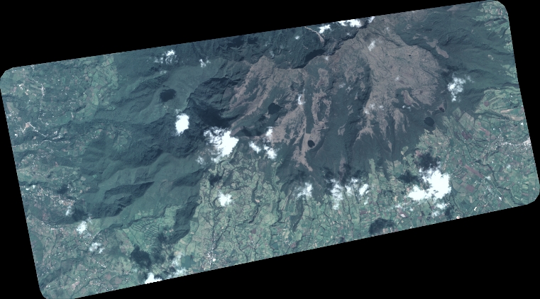
Quicklook
Copyright