TYPE:
SENSOR
LAYER:
DS_PHR1A_202212171036177_FR1_PX_E000N05_0819_00613
FORMAT:
DIMAP
RASTER:
image/tiff
General Information
Map Name
Geometric Processing Level
Radiometric Processing Level
BASIC
Image dimensions
Number of columns
11769
Number of rows
13352
Number of spectral bands
1
Dataset framing
Vertice
Longitude (DEG)
Latitude (DEG)
Row
Col
#1
0.6096811184635036
5.811524839225633
#2
0.6649738149870364
5.810118208078968
#3
0.6649742749197397
5.7484665288856
#4
0.6096362963625239
5.749982187869072
Dataset sources
PHR
Coordinate Reference System
Projected Coordinate System
Geocoding tables identification
EPSG(6.3)
Production
Production Date
2022-12-18T00:30:19.594
Job identification
6592662101-1
Dataset Producer Identification
AIRBUS DS GEO
Producer link
http://www.geo-airbusds.com
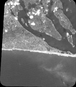
Quicklook
Copyright