TYPE:
SENSOR
LAYER:
DS_PHR1A_202212171036177_FR1_PX_E000N05_0819_00613
FORMAT:
DIMAP
RASTER:
image/tiff
General Information
Map Name
Geometric Processing Level
Radiometric Processing Level
BASIC
Image dimensions
Number of columns
2943
Number of rows
3338
Number of spectral bands
4
Dataset framing
Vertice
Longitude (DEG)
Latitude (DEG)
Row
Col
#1
0.6096971946747631
5.811534163147401
1
#2
0.6649898494794446
5.81012985153372
#3
0.6649873569003241
5.74849012149513
#4
0.6096493435724275
5.75000349828255
Dataset sources
PHR
Coordinate Reference System
Projected Coordinate System
Geocoding tables identification
EPSG(6.3)
Production
Production Date
2022-12-18T00:31:16.311
Job identification
6592662101-2
Dataset Producer Identification
AIRBUS DS GEO
Producer link
http://www.geo-airbusds.com
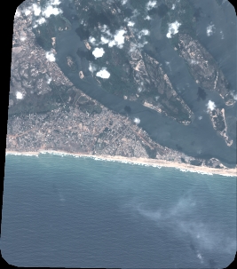
Quicklook
Copyright