TYPE:
SENSOR
LAYER:
DS_PHR1A_202212171026181_FR1_PX_E007N44_0302_02190
FORMAT:
DIMAP
RASTER:
image/tiff
General Information
Map Name
Geometric Processing Level
Radiometric Processing Level
BASIC
Image dimensions
Number of columns
24212
Number of rows
48848
Number of spectral bands
1
Dataset framing
Vertice
Longitude (DEG)
Latitude (DEG)
Row
Col
#1
7.150392398563916
44.18149005959832
#2
7.311898807341664
44.1743420754058
#3
7.306389345488591
43.94576767005437
#4
7.146732319852679
43.95098584246693
Dataset sources
PHR
Coordinate Reference System
Projected Coordinate System
Geocoding tables identification
EPSG(6.3)
Production
Production Date
2022-12-17T23:14:05.971
Job identification
6592632101-1
Dataset Producer Identification
AIRBUS DS GEO
Producer link
http://www.geo-airbusds.com
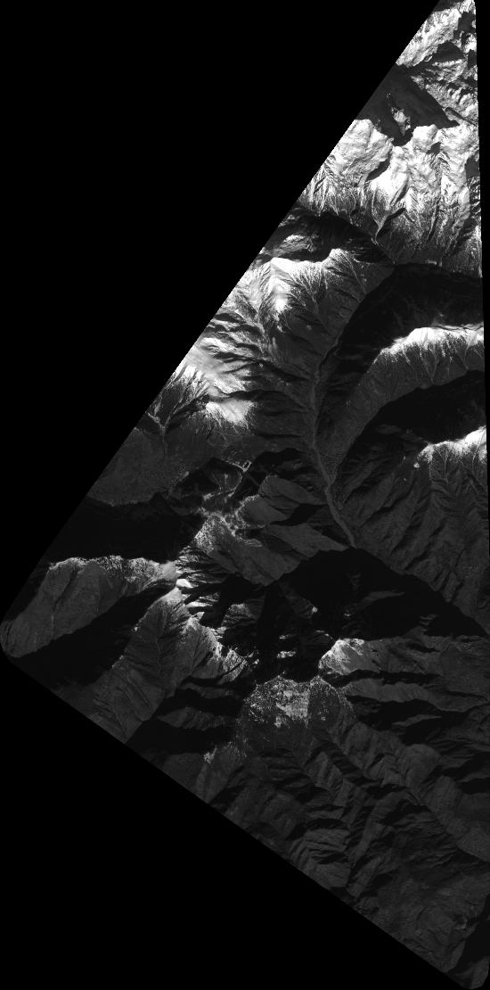
Quicklook
Copyright