TYPE:
SENSOR
LAYER:
DS_PHR1A_202212171026068_FR1_PX_E007N44_0502_02530
FORMAT:
DIMAP
RASTER:
image/tiff
General Information
Map Name
Geometric Processing Level
Radiometric Processing Level
BASIC
Image dimensions
Number of columns
36686
Number of rows
56289
Number of spectral bands
1
Dataset framing
Vertice
Longitude (DEG)
Latitude (DEG)
Row
Col
#1
7.26139992638188
44.1814229904796
#2
7.500594545651323
44.17628664041098
#3
7.496997124100612
43.91982838762441
#4
7.258858864235416
43.92390209337302
Dataset sources
PHR
Coordinate Reference System
Projected Coordinate System
Geocoding tables identification
EPSG(6.3)
Production
Production Date
2022-12-17T23:19:04.491
Job identification
6592630101-1
Dataset Producer Identification
AIRBUS DS GEO
Producer link
http://www.geo-airbusds.com
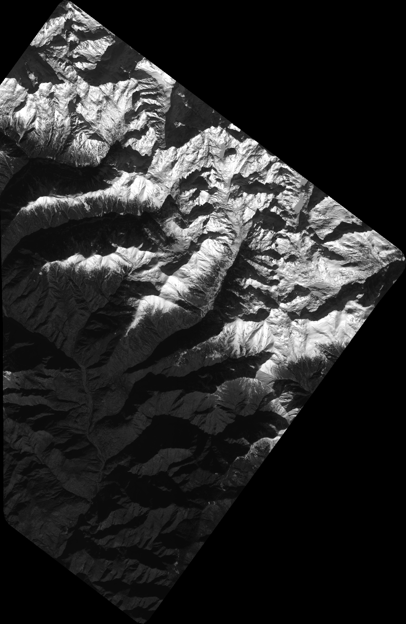
Quicklook
Copyright