TYPE:
SENSOR
LAYER:
DS_PHR1A_202212171026068_FR1_PX_E007N44_0502_02530
FORMAT:
DIMAP
RASTER:
image/tiff
General Information
Map Name
Geometric Processing Level
Radiometric Processing Level
BASIC
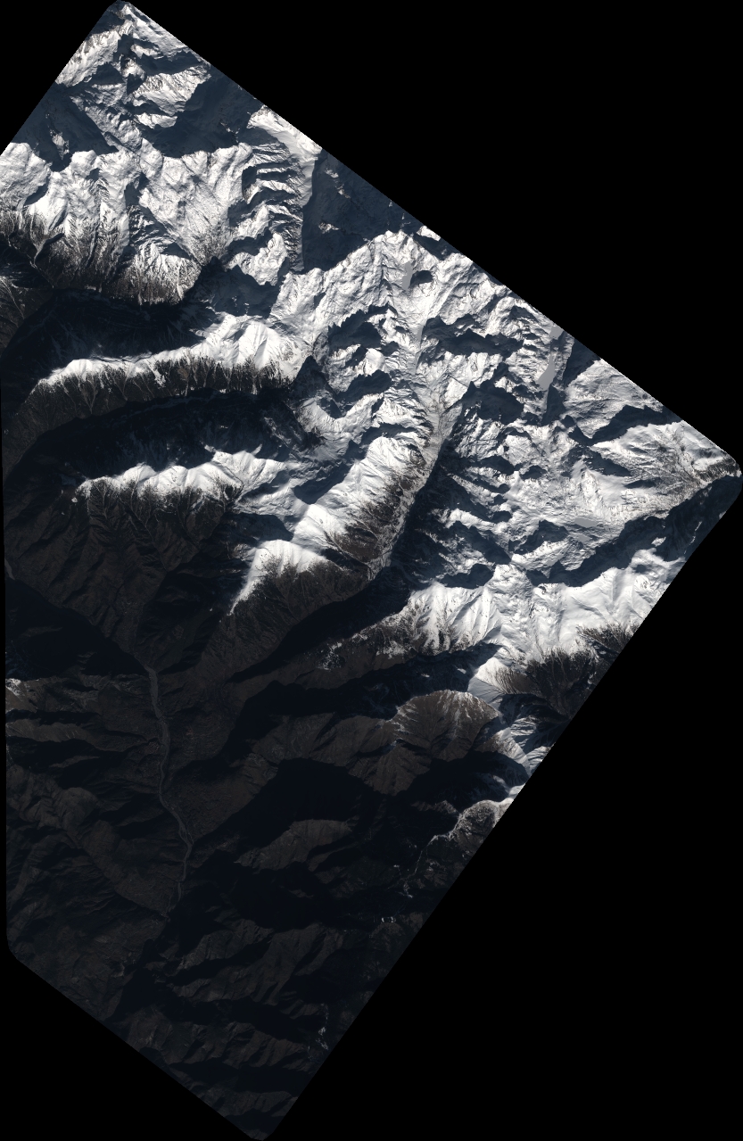
Image dimensions
Number of columns
9172
Number of rows
14073
Number of spectral bands
4
Dataset framing
Vertice
Longitude (DEG)
Latitude (DEG)
Row
Col
#1
7.261407459743286
44.18141278495306
1
#2
7.500597086087793
44.17627560879406
#3
7.496998554004309
43.91981771453612
#4
7.25886724327508
43.9238912498977
Dataset sources
PHR
Coordinate Reference System
Projected Coordinate System
Geocoding tables identification
EPSG(6.3)
Production
Production Date
2022-12-17T23:17:35.784
Job identification
6592630101-2
Dataset Producer Identification
AIRBUS DS GEO
Producer link
http://www.geo-airbusds.com
Quicklook
Copyright