TYPE:
SENSOR
LAYER:
DS_PHR1A_202212171025359_FR1_PX_E007N44_0502_02470
FORMAT:
DIMAP
RASTER:
image/tiff
General Information
Map Name
Geometric Processing Level
Radiometric Processing Level
BASIC
Image dimensions
Number of columns
8924
Number of rows
13561
Number of spectral bands
4
Dataset framing
Vertice
Longitude (DEG)
Latitude (DEG)
Row
Col
#1
7.259940535032954
44.17739614482365
1
#2
7.499569425053712
44.1836140352512
#3
7.49722909874498
43.92727528342499
#4
7.256072475947106
43.91773286209319
Dataset sources
PHR
Coordinate Reference System
Projected Coordinate System
Geocoding tables identification
EPSG(6.3)
Production
Production Date
2022-12-17T23:15:57.300
Job identification
6592629101-2
Dataset Producer Identification
AIRBUS DS GEO
Producer link
http://www.geo-airbusds.com
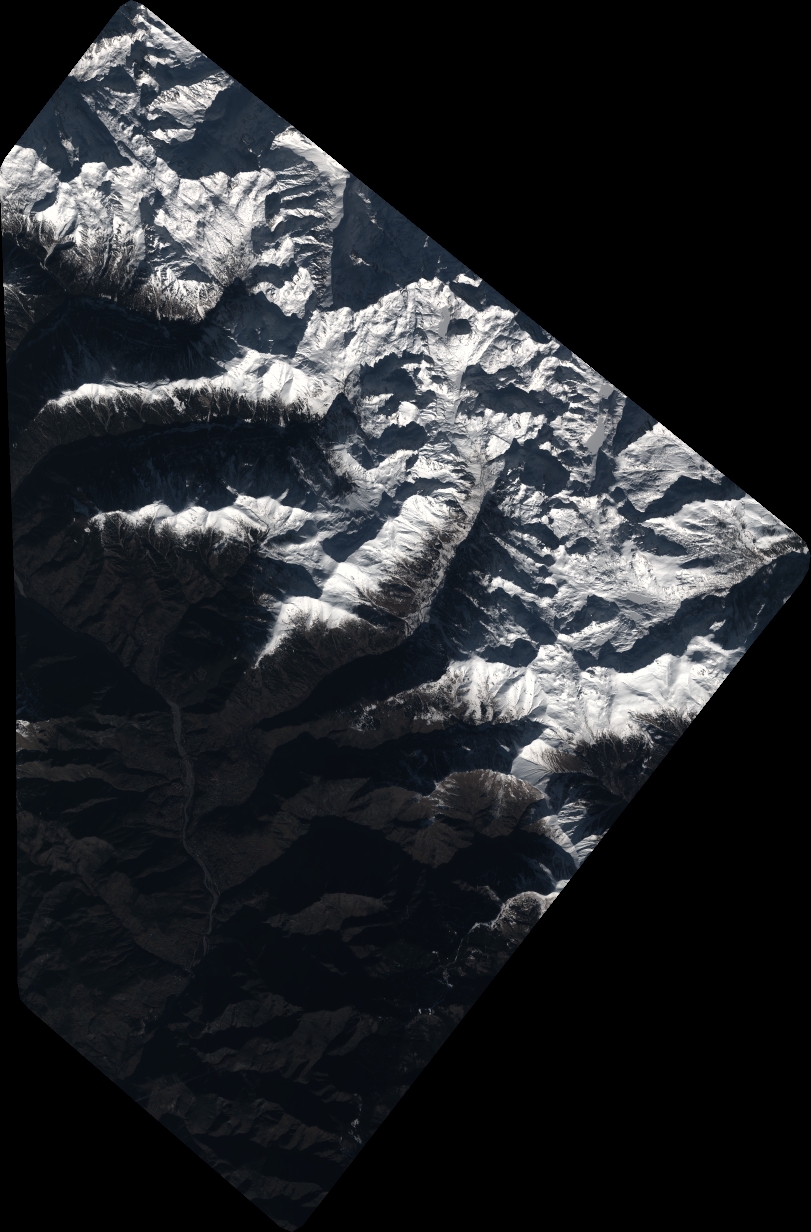
Quicklook
Copyright