TYPE:
SENSOR
LAYER:
DS_PHR1B_202212161033338_FR1_PX_E005N43_0813_00975
FORMAT:
DIMAP
RASTER:
image/jp2
General Information
Map Name
Geometric Processing Level
Radiometric Processing Level
BASIC
Image dimensions
Number of columns
21974
Number of rows
21375
Number of spectral bands
1
Dataset framing
Vertice
Longitude (DEG)
Latitude (DEG)
Row
Col
#1
5.571715872473027
43.25149144820712
#2
5.710750490732881
43.25219076840022
#3
5.710341443061608
43.15578875020244
#4
5.571860707693054
43.15488616146678
Dataset sources
PHR
Coordinate Reference System
Projected Coordinate System
Geocoding tables identification
EPSG(6.3)
Production
Production Date
2022-12-16T23:21:21.471
Job identification
6591058101-1
Dataset Producer Identification
AIRBUS DS GEO
Producer link
http://www.geo-airbusds.com
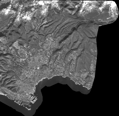
Quicklook
Copyright