TYPE:
SENSOR
LAYER:
DS_PHR1A_202212121025171_FR1_PX_E000N05_0919_00666
FORMAT:
DIMAP
RASTER:
image/tiff
General Information
Map Name
Geometric Processing Level
Radiometric Processing Level
BASIC
Image dimensions
Number of columns
38399
Number of rows
14451
Number of spectral bands
1
Dataset framing
Vertice
Longitude (DEG)
Latitude (DEG)
Row
Col
#1
0.6377706429208058
5.811229955072316
#2
0.8203333862841814
5.808711272425041
#3
0.8202529012568101
5.74271540193816
#4
0.6378968592006696
5.744800892061508
Dataset sources
PHR
Coordinate Reference System
Projected Coordinate System
Geocoding tables identification
EPSG(6.3)
Production
Production Date
2022-12-13T00:15:25.593
Job identification
6585531101-1
Dataset Producer Identification
AIRBUS DS GEO
Producer link
http://www.geo-airbusds.com
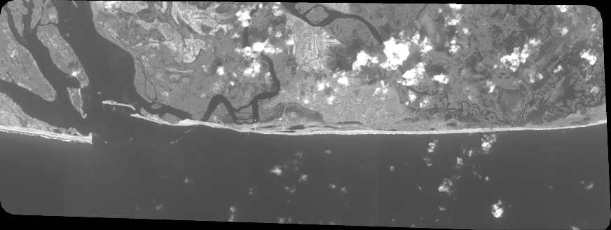
Quicklook
Copyright