TYPE:
SENSOR
LAYER:
DS_PHR1A_202212121025171_FR1_PX_E000N05_0919_00666
FORMAT:
DIMAP
RASTER:
image/tiff
General Information
Map Name
Geometric Processing Level
Radiometric Processing Level
BASIC
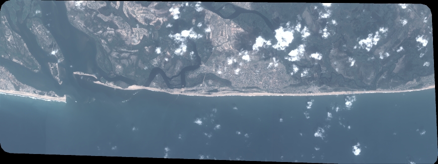
Image dimensions
Number of columns
9601
Number of rows
3613
Number of spectral bands
4
Dataset framing
Vertice
Longitude (DEG)
Latitude (DEG)
Row
Col
#1
0.6377712765250835
5.811227333452362
1
#2
0.820343424304024
5.808708480756225
#3
0.8202627422881164
5.742721652442049
#4
0.637897274494835
5.74480734914844
Dataset sources
PHR
Coordinate Reference System
Projected Coordinate System
Geocoding tables identification
EPSG(6.3)
Production
Production Date
2022-12-13T00:15:16.819
Job identification
6585531101-2
Dataset Producer Identification
AIRBUS DS GEO
Producer link
http://www.geo-airbusds.com
Quicklook
Copyright