TYPE:
SENSOR
LAYER:
DS_PHR1A_202212121025247_FR1_PX_E000N05_0919_00643
FORMAT:
DIMAP
RASTER:
image/tiff
General Information
Map Name
Geometric Processing Level
Radiometric Processing Level
BASIC
Image dimensions
Number of columns
38423
Number of rows
13962
Number of spectral bands
1
Dataset framing
Vertice
Longitude (DEG)
Latitude (DEG)
Row
Col
#1
0.6377855623001357
5.812575701164724
#2
0.8203450119476257
5.807037683761899
#3
0.8202500001175305
5.742580902135832
#4
0.637881757038301
5.747722910931108
Dataset sources
PHR
Coordinate Reference System
Projected Coordinate System
Geocoding tables identification
EPSG(6.3)
Production
Production Date
2022-12-13T00:15:41.334
Job identification
6585530101-1
Dataset Producer Identification
AIRBUS DS GEO
Producer link
http://www.geo-airbusds.com
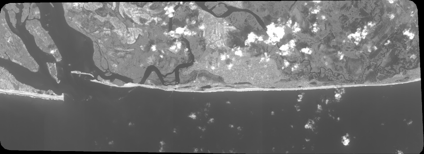
Quicklook
Copyright