TYPE:
SENSOR
LAYER:
DS_PHR1A_202212121025095_FR1_PX_E000N05_0919_00696
FORMAT:
DIMAP
RASTER:
image/tiff
General Information
Map Name
Geometric Processing Level
Radiometric Processing Level
BASIC
Image dimensions
Number of columns
38147
Number of rows
15130
Number of spectral bands
1
Dataset framing
Vertice
Longitude (DEG)
Latitude (DEG)
Row
Col
#1
0.6377435489894744
5.811138432661479
#2
0.8203128439850406
5.812002012010558
#3
0.8202540835271775
5.742811774854743
#4
0.6379085992777122
5.741467573952769
Dataset sources
PHR
Coordinate Reference System
Projected Coordinate System
Geocoding tables identification
EPSG(6.3)
Production
Production Date
2022-12-13T00:16:05.472
Job identification
6585529101-1
Dataset Producer Identification
AIRBUS DS GEO
Producer link
http://www.geo-airbusds.com
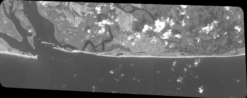
Quicklook
Copyright