TYPE:
SENSOR
LAYER:
DS_PHR1A_202212121025095_FR1_PX_E000N05_0919_00696
FORMAT:
DIMAP
RASTER:
image/tiff
General Information
Map Name
Geometric Processing Level
Radiometric Processing Level
BASIC
Image dimensions
Number of columns
9537
Number of rows
3783
Number of spectral bands
4
Dataset framing
Vertice
Longitude (DEG)
Latitude (DEG)
Row
Col
#1
0.6377533736375718
5.811141265855371
1
#2
0.8203130305094118
5.812002969462692
#3
0.8202541685815743
5.742817162741147
#4
0.6379183229376193
5.741474894466057
Dataset sources
PHR
Coordinate Reference System
Projected Coordinate System
Geocoding tables identification
EPSG(6.3)
Production
Production Date
2022-12-13T00:15:56.820
Job identification
6585529101-2
Dataset Producer Identification
AIRBUS DS GEO
Producer link
http://www.geo-airbusds.com
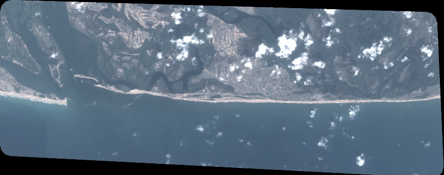
Quicklook
Copyright