TYPE:
SENSOR
LAYER:
DS_PHR1B_202212121101396_FR1_PX_E002N50_1203_01768
FORMAT:
DIMAP
RASTER:
image/jp2
General Information
Map Name
Geometric Processing Level
Radiometric Processing Level
BASIC
Image dimensions
Number of columns
19421
Number of rows
39236
Number of spectral bands
1
Dataset framing
Vertice
Longitude (DEG)
Latitude (DEG)
Row
Col
#1
2.931523857128884
50.21070137407706
#2
3.072231614899186
50.20942232065422
#3
3.071534564572996
50.02317145991794
#4
2.931192019431575
50.02455324253715
Dataset sources
PHR
Coordinate Reference System
Projected Coordinate System
Geocoding tables identification
EPSG(6.3)
Production
Production Date
2022-12-12T23:51:33.487
Job identification
6585431101-1
Dataset Producer Identification
AIRBUS DS GEO
Producer link
http://www.geo-airbusds.com
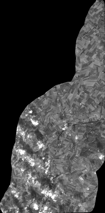
Quicklook
Copyright