TYPE:
SENSOR
LAYER:
DS_PHR1B_202212121101396_FR1_PX_E002N50_1203_01768
FORMAT:
DIMAP
RASTER:
image/jp2
General Information
Map Name
Geometric Processing Level
Radiometric Processing Level
BASIC
Image dimensions
Number of columns
4856
Number of rows
9809
Number of spectral bands
4
Dataset framing
Vertice
Longitude (DEG)
Latitude (DEG)
Row
Col
#1
2.931533944904065
50.21068580662838
1
#2
3.072241762658348
50.20940484668125
#3
3.071545362866347
50.02317188996904
#4
2.931202740796622
50.02455553919768
Dataset sources
PHR
Coordinate Reference System
Projected Coordinate System
Geocoding tables identification
EPSG(6.3)
Production
Production Date
2022-12-12T23:51:21.291
Job identification
6585431101-2
Dataset Producer Identification
AIRBUS DS GEO
Producer link
http://www.geo-airbusds.com
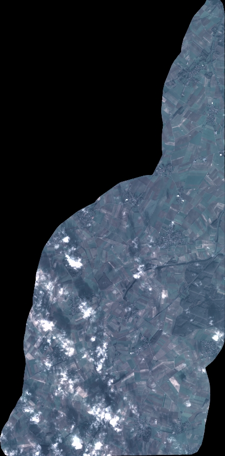
Quicklook
Copyright