TYPE:
SENSOR
LAYER:
DS_PHR1A_202212111437184_FR1_PX_W062N14_1216_03381
FORMAT:
DIMAP
RASTER:
image/jp2
General Information
Map Name
Geometric Processing Level
Radiometric Processing Level
BASIC
Image dimensions
Number of columns
39810
Number of rows
75660
Number of spectral bands
1
Dataset framing
Vertice
Longitude (DEG)
Latitude (DEG)
Row
Col
#1
-61.12451795395144
14.8293408163462
#2
-60.92969038140372
14.82766595366022
#3
-60.92989074148034
14.48272243716655
#4
-61.12456470946126
14.48200567481723
Dataset sources
PHR
Coordinate Reference System
Projected Coordinate System
Geocoding tables identification
EPSG(6.3)
Production
Production Date
2023-01-09T15:14:51.401
Job identification
6610343101-1
Dataset Producer Identification
AIRBUS DS GEO
Producer link
http://www.geo-airbusds.com
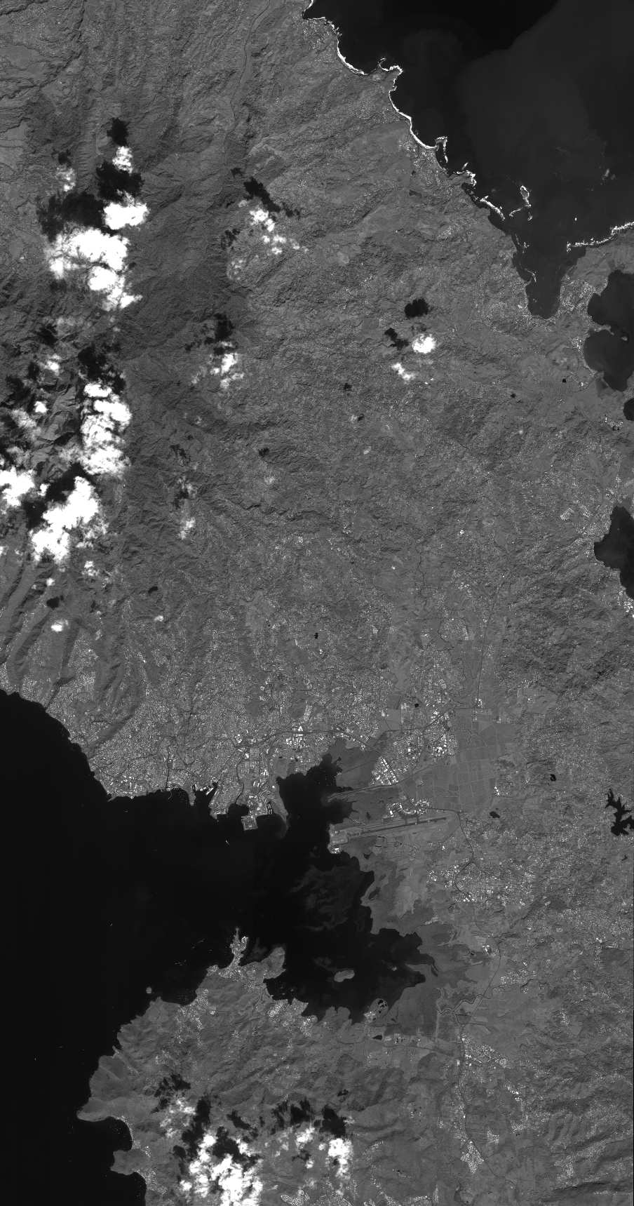
Quicklook
Copyright