TYPE:
SENSOR
LAYER:
DS_PHR1A_202212111437328_FR1_PX_W061N14_0219_01475
FORMAT:
DIMAP
RASTER:
image/jp2
General Information
Map Name
Geometric Processing Level
Radiometric Processing Level
BASIC
Image dimensions
Number of columns
22264
Number of rows
32756
Number of spectral bands
1
Dataset framing
Vertice
Longitude (DEG)
Latitude (DEG)
Row
Col
#1
-60.96560830690276
14.79645675363709
#2
-60.8574247452712
14.79291181837154
#3
-60.85767173898923
14.64130297937086
#4
-60.96543769452074
14.64428718253065
Dataset sources
PHR
Coordinate Reference System
Projected Coordinate System
Geocoding tables identification
EPSG(6.3)
Production
Production Date
2022-12-14T14:26:53.762
Job identification
6588511101-1
Dataset Producer Identification
AIRBUS DS GEO
Producer link
http://www.geo-airbusds.com
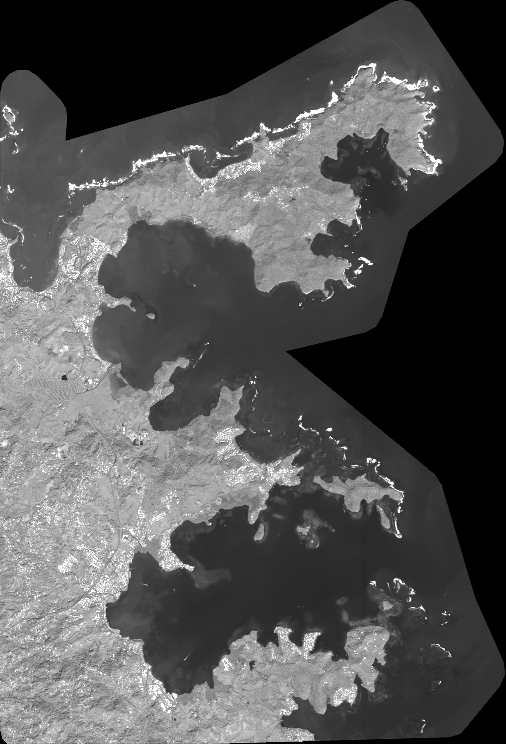
Quicklook
Copyright