TYPE:
SENSOR
LAYER:
DS_PHR1A_202212111437328_FR1_PX_W061N14_0219_01475
FORMAT:
DIMAP
RASTER:
image/jp2
General Information
Map Name
Geometric Processing Level
Radiometric Processing Level
BASIC
Image dimensions
Number of columns
5567
Number of rows
8189
Number of spectral bands
4
Dataset framing
Vertice
Longitude (DEG)
Latitude (DEG)
Row
Col
#1
-60.96559716813154
14.79645431854489
1
#2
-60.85740881814353
14.79290998404185
#3
-60.85765794987113
14.64131433031229
#4
-60.96542862744158
14.64429788480305
Dataset sources
PHR
Coordinate Reference System
Projected Coordinate System
Geocoding tables identification
EPSG(6.3)
Production
Production Date
2022-12-14T14:26:48.265
Job identification
6588511101-2
Dataset Producer Identification
AIRBUS DS GEO
Producer link
http://www.geo-airbusds.com
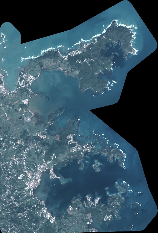
Quicklook
Copyright