TYPE:
SENSOR
LAYER:
DS_PHR1A_202212111437348_FR1_PX_W061N14_0218_01837
FORMAT:
DIMAP
RASTER:
image/jp2
General Information
Map Name
Geometric Processing Level
Radiometric Processing Level
BASIC
Image dimensions
Number of columns
35807
Number of rows
40861
Number of spectral bands
1
Dataset framing
Vertice
Longitude (DEG)
Latitude (DEG)
Row
Col
#1
-60.96580577286455
14.67317867440624
#2
-60.79265079246893
14.6681700519845
#3
-60.79251216977507
14.47959614404258
#4
-60.96514814388582
14.48373103687447
Dataset sources
PHR
Coordinate Reference System
Projected Coordinate System
Geocoding tables identification
EPSG(6.3)
Production
Production Date
2022-12-14T14:31:28.925
Job identification
6588510101-1
Dataset Producer Identification
AIRBUS DS GEO
Producer link
http://www.geo-airbusds.com
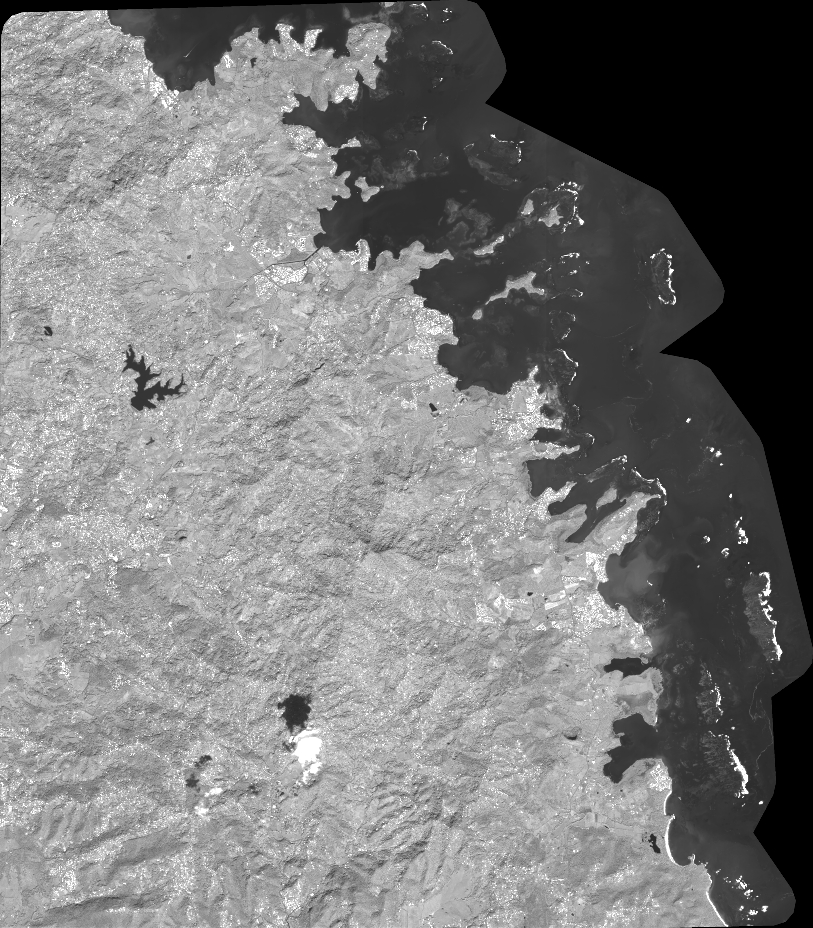
Quicklook
Copyright