TYPE:
SENSOR
LAYER:
DS_PHR1A_202212111437348_FR1_PX_W061N14_0218_01837
FORMAT:
DIMAP
RASTER:
image/jp2
General Information
Map Name
Geometric Processing Level
Radiometric Processing Level
BASIC
Image dimensions
Number of columns
8953
Number of rows
10215
Number of spectral bands
4
Dataset framing
Vertice
Longitude (DEG)
Latitude (DEG)
Row
Col
#1
-60.96579886608912
14.67316690433957
1
#2
-60.79263456114631
14.6681594758899
#3
-60.79249573291892
14.47960564920329
#4
-60.96514113486047
14.48373944881018
Dataset sources
PHR
Coordinate Reference System
Projected Coordinate System
Geocoding tables identification
EPSG(6.3)
Production
Production Date
2022-12-14T14:29:16.846
Job identification
6588510101-2
Dataset Producer Identification
AIRBUS DS GEO
Producer link
http://www.geo-airbusds.com
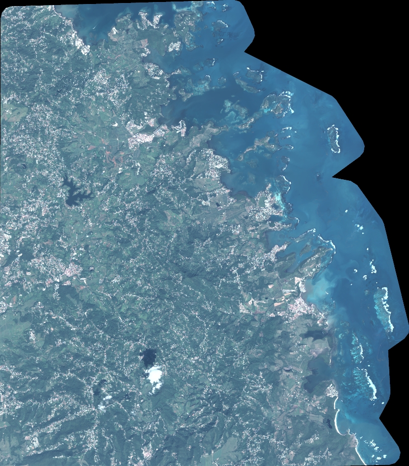
Quicklook
Copyright