TYPE:
SENSOR
LAYER:
DS_PHR1A_202212111437209_FR1_PX_W062N14_1218_01853
FORMAT:
DIMAP
RASTER:
image/jp2
General Information
Map Name
Geometric Processing Level
Radiometric Processing Level
BASIC
Image dimensions
Number of columns
9808
Number of rows
10292
Number of spectral bands
4
Dataset framing
Vertice
Longitude (DEG)
Latitude (DEG)
Row
Col
#1
-61.12313342787313
14.67084965446647
1
#2
-60.93229348932469
14.67032724614132
#3
-60.93165707912718
14.48273045947709
#4
-61.12347786503233
14.48202577720381
Dataset sources
PHR
Coordinate Reference System
Projected Coordinate System
Geocoding tables identification
EPSG(6.3)
Production
Production Date
2022-12-14T14:29:32.306
Job identification
6588512101-2
Dataset Producer Identification
AIRBUS DS GEO
Producer link
http://www.geo-airbusds.com
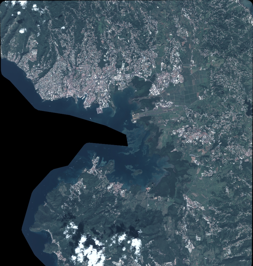
Quicklook
Copyright