TYPE:
SENSOR
LAYER:
DS_PHR1B_202212101444593_FR1_PX_W062N14_1216_03350
FORMAT:
DIMAP
RASTER:
image/jp2
General Information
Map Name
Geometric Processing Level
Radiometric Processing Level
BASIC
Image dimensions
Number of columns
10000
Number of rows
18712
Number of spectral bands
4
Dataset framing
Vertice
Longitude (DEG)
Latitude (DEG)
Row
Col
#1
-61.12355363386777
14.82695748945391
1
#2
-60.93253245634012
14.83274389526265
#3
-60.93274049124533
14.48335664802666
#4
-61.12337474761911
14.47972882001199
Dataset sources
PHR
Coordinate Reference System
Projected Coordinate System
Geocoding tables identification
EPSG(6.3)
Production
Production Date
2022-12-12T11:28:18.626
Job identification
6585278101-2
Dataset Producer Identification
AIRBUS DS GEO
Producer link
http://www.geo-airbusds.com
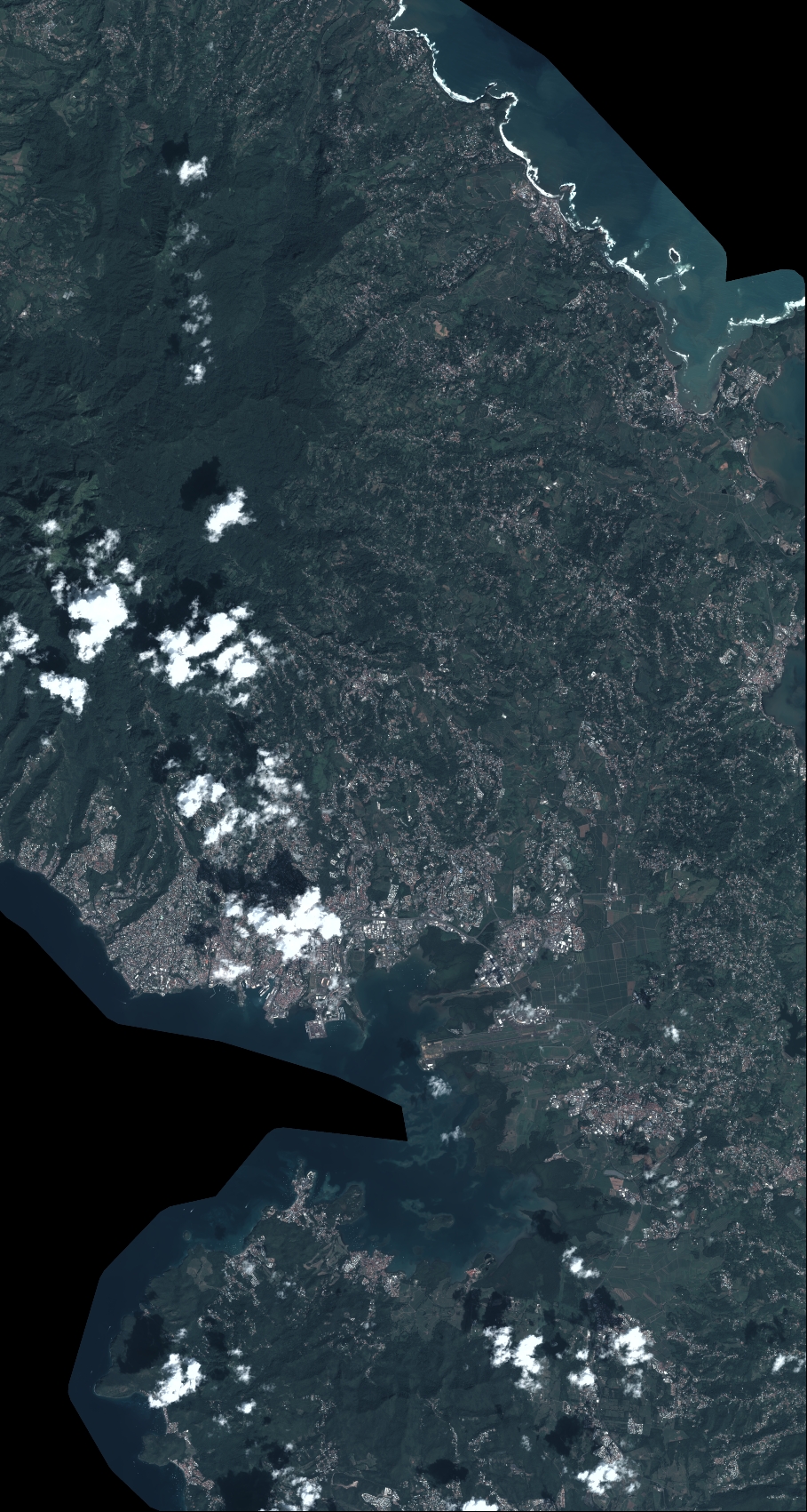
Quicklook
Copyright