TYPE:
SENSOR
LAYER:
DS_PHR1B_202212101444273_FR1_PX_W061N14_0214_01800
FORMAT:
DIMAP
RASTER:
image/jp2
General Information
Map Name
Geometric Processing Level
Radiometric Processing Level
BASIC
Image dimensions
Number of columns
36428
Number of rows
39956
Number of spectral bands
1
Dataset framing
Vertice
Longitude (DEG)
Latitude (DEG)
Row
Col
#1
-60.96377660701486
14.66631983363913
#2
-60.79267391150351
14.6644039000134
#3
-60.79265842055122
14.4812456850815
#4
-60.96377985976243
14.48345331000311
Dataset sources
PHR
Coordinate Reference System
Projected Coordinate System
Geocoding tables identification
EPSG(6.3)
Production
Production Date
2022-12-12T11:32:40.355
Job identification
6585277101-1
Dataset Producer Identification
AIRBUS DS GEO
Producer link
http://www.geo-airbusds.com
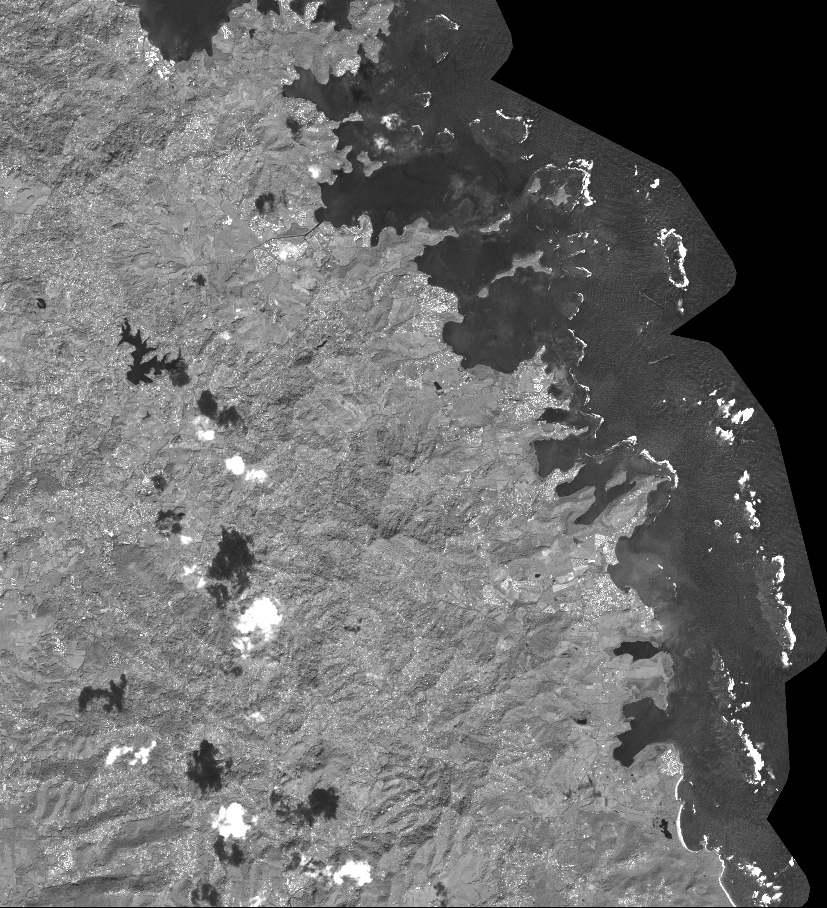
Quicklook
Copyright