TYPE:
SENSOR
LAYER:
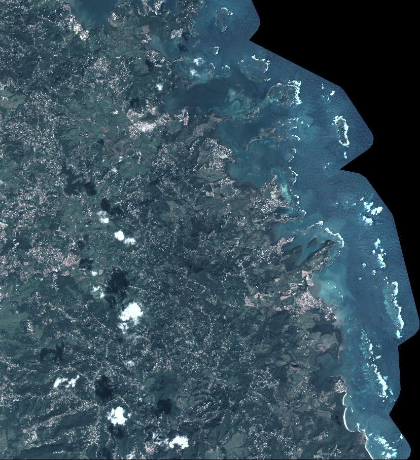
DS_PHR1B_202212101444273_FR1_PX_W061N14_0214_01800
FORMAT:
DIMAP
RASTER:
image/jp2
General Information
Map Name
Geometric Processing Level
Radiometric Processing Level
BASIC
Image dimensions
Number of columns
9108
Number of rows
9989
Number of spectral bands
4
Dataset framing
Vertice
Longitude (DEG)
Latitude (DEG)
Row
Col
#1
-60.96377091633043
14.66631187218167
1
#2
-60.7926634867184
14.66439665732814
#3
-60.79264732855391
14.48125251132578
#4
-60.96377347418543
14.48345931709333
Dataset sources
PHR
Coordinate Reference System
Projected Coordinate System
Geocoding tables identification
EPSG(6.3)
Production
Production Date
2022-12-12T11:20:43.221
Job identification
6585277101-2
Dataset Producer Identification
AIRBUS DS GEO
Producer link
http://www.geo-airbusds.com
Quicklook
Copyright