TYPE:
SENSOR
LAYER:
DS_PHR1A_202211270641036_FR1_PX_E055S22_0624_01037
FORMAT:
DIMAP
RASTER:
image/tiff
General Information
Map Name
Geometric Processing Level
Radiometric Processing Level
BASIC
Image dimensions
Number of columns
27351
Number of rows
22896
Number of spectral bands
1
Dataset framing
Vertice
Longitude (DEG)
Latitude (DEG)
Row
Col
#1
55.38821386927004
-21.13013917518295
#2
55.5262550565955
-21.12949398121427
#3
55.52792606128789
-21.23418487393486
#4
55.39097358150627
-21.2341882432586
Dataset sources
PHR
Coordinate Reference System
Projected Coordinate System
Geocoding tables identification
EPSG(6.3)
Production
Production Date
2022-11-28T16:00:54.770
Job identification
6574208101-1
Dataset Producer Identification
AIRBUS DS GEO
Producer link
http://www.geo-airbusds.com
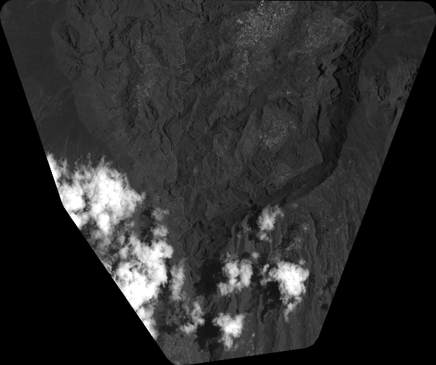
Quicklook
Copyright