TYPE:
SENSOR
LAYER:
DS_PHR1A_202211270641036_FR1_PX_E055S22_0624_01037
FORMAT:
DIMAP
RASTER:
image/tiff
General Information
Map Name
Geometric Processing Level
Radiometric Processing Level
BASIC
Image dimensions
Number of columns
6838
Number of rows
5724
Number of spectral bands
4
Dataset framing
Vertice
Longitude (DEG)
Latitude (DEG)
Row
Col
#1
55.38822576220416
-21.13014605517845
1
#2
55.52625753192167
-21.12950084758001
#3
55.52792841191098
-21.23417802090484
#4
55.39098629042067
-21.23418137520873
Dataset sources
PHR
Coordinate Reference System
Projected Coordinate System
Geocoding tables identification
EPSG(6.3)
Production
Production Date
2022-11-28T16:00:38.681
Job identification
6574208101-2
Dataset Producer Identification
AIRBUS DS GEO
Producer link
http://www.geo-airbusds.com
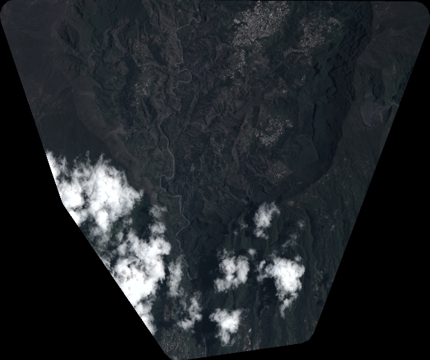
Quicklook
Copyright