TYPE:
SENSOR
LAYER:
DS_PHR1A_202211270641010_FR1_PX_E055S22_0623_01883
FORMAT:
DIMAP
RASTER:
image/tiff
General Information
Map Name
Geometric Processing Level
Radiometric Processing Level
BASIC
Image dimensions
Number of columns
39699
Number of rows
41792
Number of spectral bands
1
Dataset framing
Vertice
Longitude (DEG)
Latitude (DEG)
Row
Col
#1
55.34582830304433
-20.96750476212424
#2
55.54382419241055
-20.96591322901368
#3
55.54274097059882
-21.15750265196082
#4
55.34401126157147
-21.1580228254408
Dataset sources
PHR
Coordinate Reference System
Projected Coordinate System
Geocoding tables identification
EPSG(6.3)
Production
Production Date
2022-11-28T12:54:35.962
Job identification
6573932101-1
Dataset Producer Identification
AIRBUS DS GEO
Producer link
http://www.geo-airbusds.com
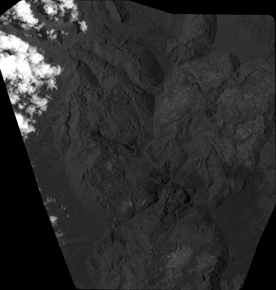
Quicklook
Copyright