TYPE:
SENSOR
LAYER:
DS_PHR1A_202211270640418_FR1_PX_E055S22_0723_01660
FORMAT:
DIMAP
RASTER:
image/tiff
General Information
Map Name
Geometric Processing Level
Radiometric Processing Level
BASIC
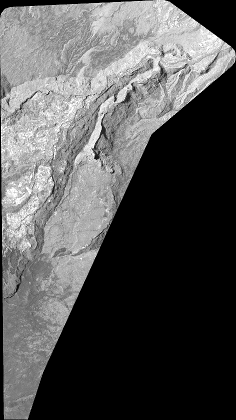
Image dimensions
Number of columns
20791
Number of rows
36882
Number of spectral bands
1
Dataset framing
Vertice
Longitude (DEG)
Latitude (DEG)
Row
Col
#1
55.51236485961454
-20.97292726455542
#2
55.61849723227273
-20.97733835554217
#3
55.61694832192105
-21.1485734179843
#4
55.51022233013315
-21.14335113500113
Dataset sources
PHR
Coordinate Reference System
Projected Coordinate System
Geocoding tables identification
EPSG(6.3)
Production
Production Date
2022-11-28T12:51:27.018
Job identification
6573930101-1
Dataset Producer Identification
AIRBUS DS GEO
Producer link
http://www.geo-airbusds.com
Quicklook
Copyright