TYPE:
SENSOR
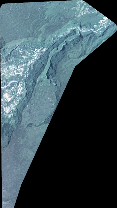
LAYER:
DS_PHR1A_202211270640418_FR1_PX_E055S22_0723_01660
FORMAT:
DIMAP
RASTER:
image/tiff
General Information
Map Name
Geometric Processing Level
Radiometric Processing Level
BASIC
Image dimensions
Number of columns
5199
Number of rows
9220
Number of spectral bands
4
Dataset framing
Vertice
Longitude (DEG)
Latitude (DEG)
Row
Col
#1
55.51236196587954
-20.97294317405275
1
#2
55.61850467445093
-20.97735481730523
#3
55.61695602315654
-21.14856672087061
#4
55.51021959570354
-21.14334380588516
Dataset sources
PHR
Coordinate Reference System
Projected Coordinate System
Geocoding tables identification
EPSG(6.3)
Production
Production Date
2022-11-28T12:50:13.303
Job identification
6573930101-2
Dataset Producer Identification
AIRBUS DS GEO
Producer link
http://www.geo-airbusds.com
Quicklook
Copyright