TYPE:
SENSOR
LAYER:
DS_PHR1A_202211270640510_FR1_PX_E055S22_0823_01652
FORMAT:
DIMAP
RASTER:
image/jp2
General Information
Map Name
Geometric Processing Level
Radiometric Processing Level
BASIC
Image dimensions
Number of columns
38927
Number of rows
36723
Number of spectral bands
1
Dataset framing
Vertice
Longitude (DEG)
Latitude (DEG)
Row
Col
#1
55.51219562548903
-20.97211121368688
#2
55.71027742312504
-20.9753441919333
#3
55.70871756184881
-21.14381339060954
#4
55.50982333060841
-21.13945622035849
Dataset sources
PHR
Coordinate Reference System
Projected Coordinate System
Geocoding tables identification
EPSG(6.3)
Production
Production Date
2022-11-28T12:52:53.969
Job identification
6573929101-1
Dataset Producer Identification
AIRBUS DS GEO
Producer link
http://www.geo-airbusds.com
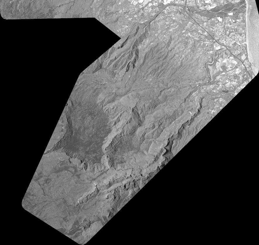
Quicklook
Copyright