TYPE:
SENSOR
LAYER:
DS_PHR1A_202211270640418_FR1_PX_E055S22_0823_01664
FORMAT:
DIMAP
RASTER:
image/jp2
General Information
Map Name
Geometric Processing Level
Radiometric Processing Level
BASIC
Image dimensions
Number of columns
38862
Number of rows
36854
Number of spectral bands
1
Dataset framing
Vertice
Longitude (DEG)
Latitude (DEG)
Row
Col
#1
55.51236343154584
-20.96787229813759
#2
55.71025423305878
-20.97504743883065
#3
55.70872242427551
-21.14639144005395
#4
55.51004741757563
-21.13796246452865
Dataset sources
PHR
Coordinate Reference System
Projected Coordinate System
Geocoding tables identification
EPSG(6.3)
Production
Production Date
2022-11-28T12:52:07.660
Job identification
6573928101-1
Dataset Producer Identification
AIRBUS DS GEO
Producer link
http://www.geo-airbusds.com
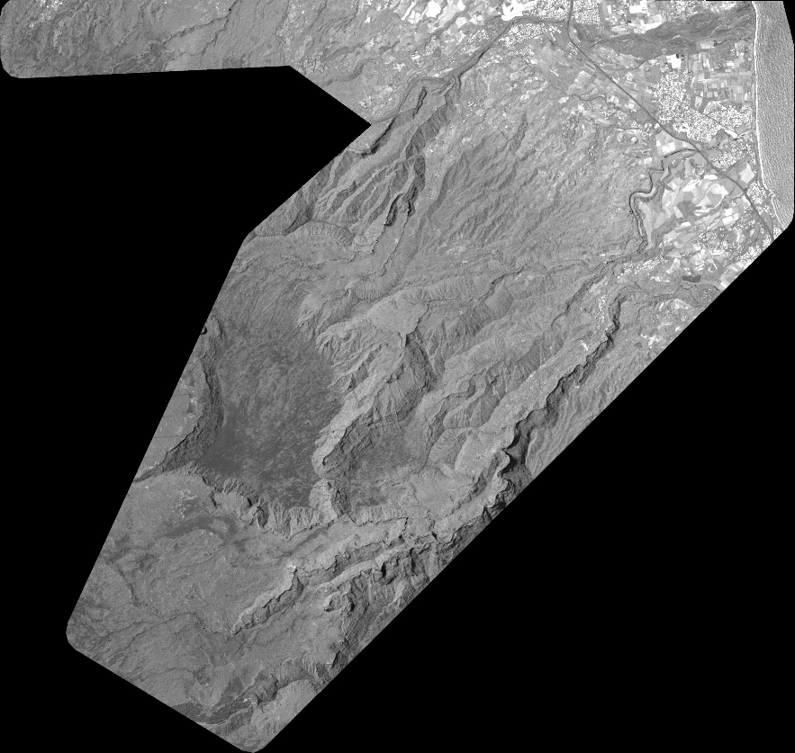
Quicklook
Copyright