TYPE:
SENSOR
LAYER:
DS_PHR1A_202211270640418_FR1_PX_E055S22_0823_01664
FORMAT:
DIMAP
RASTER:
image/jp2
General Information
Map Name
Geometric Processing Level
Radiometric Processing Level
BASIC
Image dimensions
Number of columns
9716
Number of rows
9214
Number of spectral bands
4
Dataset framing
Vertice
Longitude (DEG)
Latitude (DEG)
Row
Col
#1
55.51238078609047
-20.9678796253164
1
#2
55.7102669415034
-20.97505482239628
#3
55.70873511056848
-21.1463941656186
#4
55.5100635194177
-21.13796400039219
Dataset sources
PHR
Coordinate Reference System
Projected Coordinate System
Geocoding tables identification
EPSG(6.3)
Production
Production Date
2022-11-28T12:51:41.465
Job identification
6573928101-2
Dataset Producer Identification
AIRBUS DS GEO
Producer link
http://www.geo-airbusds.com
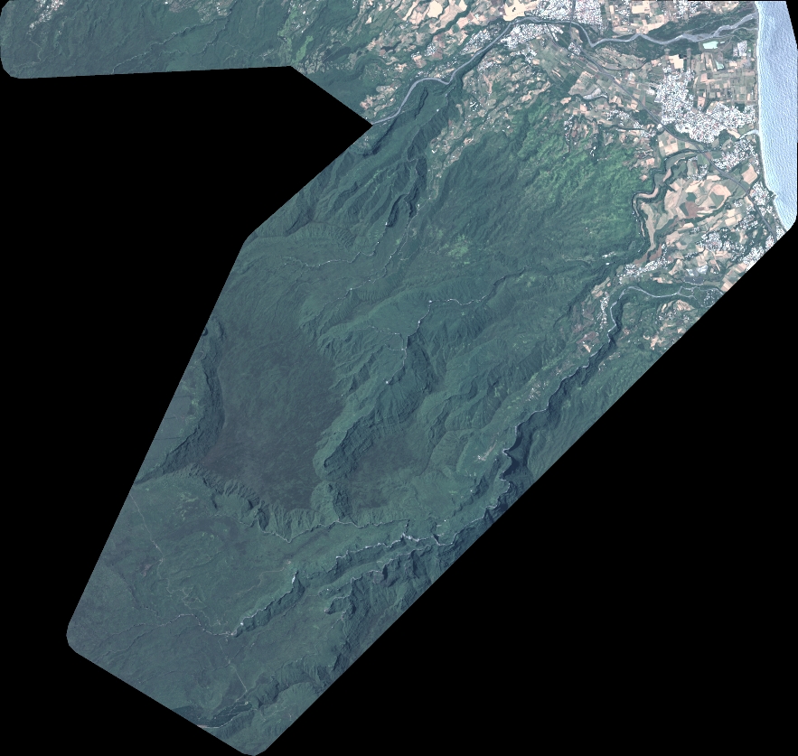
Quicklook
Copyright