TYPE:
SYSTEM_ORTHO
LAYER:
DS_PHR1A_202211261038363_FR1_PX_E003N43_0709_00661
FORMAT:
DIMAP
RASTER:
image/tiff
General Information
Map Name
Geometric Processing Level
Radiometric Processing Level
BASIC
Image dimensions
Number of columns
24256
Number of rows
18988
Number of spectral bands
1
Dataset framing
Vertice
Longitude (DEG)
Latitude (DEG)
Row
Col
#1
3.46189809813262
43.3824186628008
#2
3.611610948643681
43.38171600231063
#3
3.610753539161962
43.29623613113981
#4
3.461250548069911
43.29693670862035
Dataset sources
PHR
Coordinate Reference System
Projected Coordinate System
Geocoding tables identification
EPSG(6.3)
Projected Coordinate System name
32631
Projected Coordinate System code
urn:ogc:def:crs:EPSG::32631
Geoposition
Upper - Left Map X Coordinate
537414.25
Upper - Left Map Y Coordinate
4803386.75
Image sampling
0.5 x 0.5
Production
Production Date
2022-11-26T13:11:20.184
Job identification
6573075101-1
Dataset Producer Identification
AIRBUS DS GEO
Producer link
http://www.geo-airbusds.com
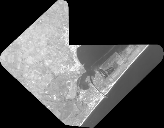
Quicklook
Copyright