TYPE:
SYSTEM_ORTHO
LAYER:
DS_PHR1A_202211261038363_FR1_PX_E003N43_0709_00661
FORMAT:
DIMAP
RASTER:
image/tiff
General Information
Map Name
Geometric Processing Level
Radiometric Processing Level
BASIC
Image dimensions
Number of columns
6064
Number of rows
4748
Number of spectral bands
4
Dataset framing
Vertice
Longitude (DEG)
Latitude (DEG)
Row
Col
#1
3.461907374061771
43.38242087645403
1
#2
3.611601712766827
43.38171830281789
#3
3.610744271105403
43.29623392947937
#4
3.46125977691425
43.29693442025383
Dataset sources
PHR
Coordinate Reference System
Projected Coordinate System
Geocoding tables identification
EPSG(6.3)
Projected Coordinate System name
32631
Projected Coordinate System code
urn:ogc:def:crs:EPSG::32631
Geoposition
Upper - Left Map X Coordinate
537415
Upper - Left Map Y Coordinate
4803387
Image sampling
2 x 2
Production
Production Date
2022-11-26T13:11:34.838
Job identification
6573075101-2
Dataset Producer Identification
AIRBUS DS GEO
Producer link
http://www.geo-airbusds.com
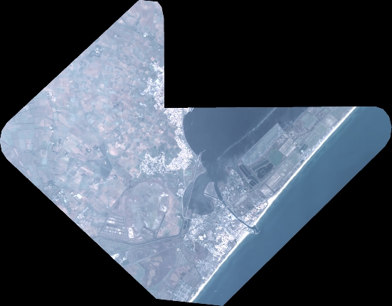
Quicklook
Copyright