TYPE:
SYSTEM_ORTHO
LAYER:
DS_PHR1A_202211261038268_FR1_PX_E003N43_0810_01901
FORMAT:
DIMAP
RASTER:
image/tiff
General Information
Map Name
Geometric Processing Level
Radiometric Processing Level
BASIC
Image dimensions
Number of columns
10593
Number of rows
12112
Number of spectral bands
4
Dataset framing
Vertice
Longitude (DEG)
Latitude (DEG)
Row
Col
#1
3.477589019731838
43.50845365288261
1
#2
3.739642207207119
43.50705874803097
#3
3.736994094902271
43.2889708167812
#4
3.475879016114219
43.29035519685077
Dataset sources
PHR
Coordinate Reference System
Projected Coordinate System
Geocoding tables identification
EPSG(6.3)
Projected Coordinate System name
32631
Projected Coordinate System code
urn:ogc:def:crs:EPSG::32631
Geoposition
Upper - Left Map X Coordinate
538605
Upper - Left Map Y Coordinate
4817391
Image sampling
2 x 2
Production
Production Date
2022-11-26T13:15:24.078
Job identification
6573074101-2
Dataset Producer Identification
AIRBUS DS GEO
Producer link
http://www.geo-airbusds.com
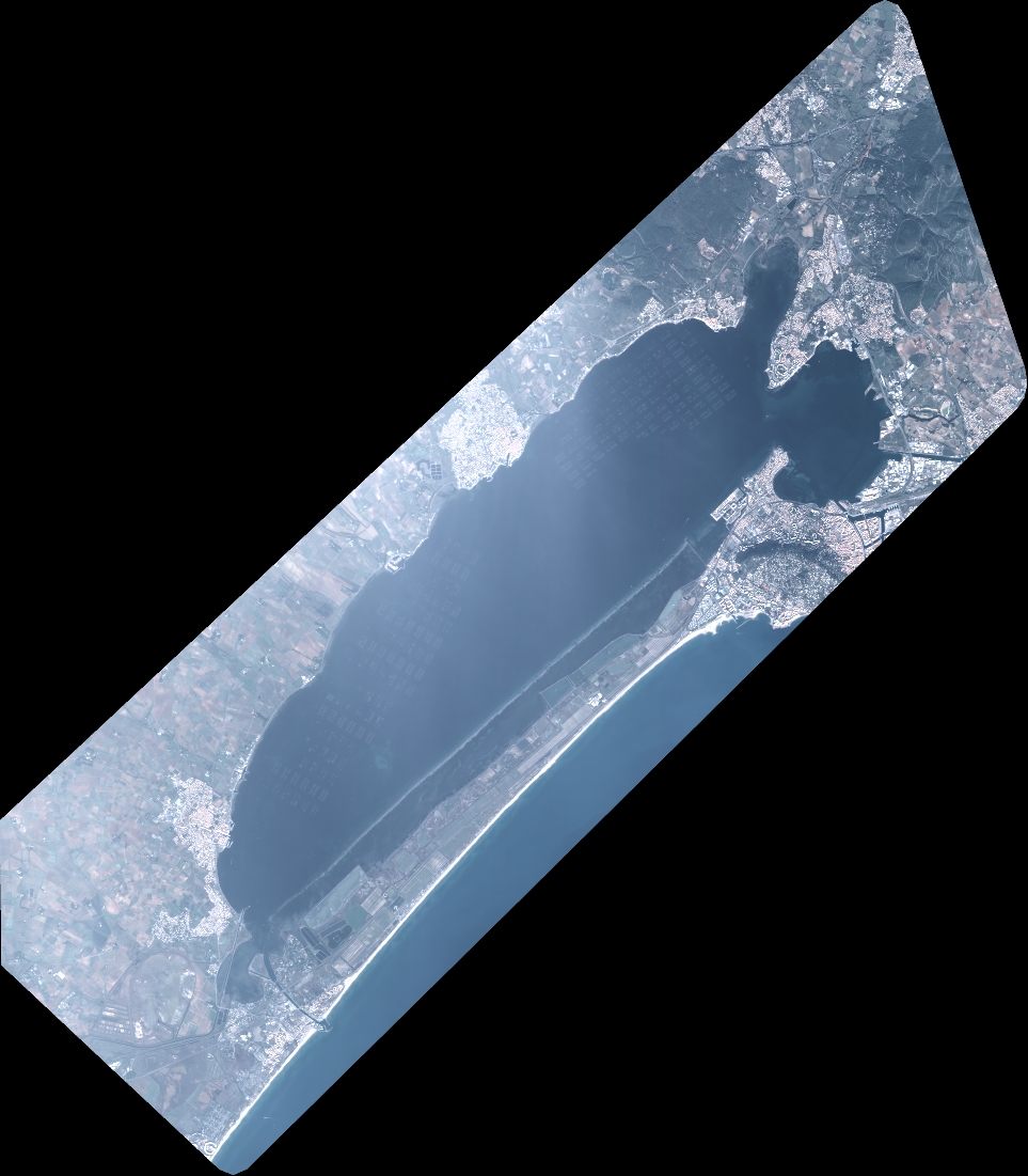
Quicklook
Copyright